Live ocean wave buoys in Victoria!
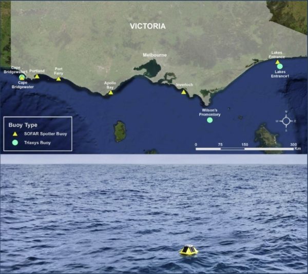
Image: https://vicwaves.com.au/

Image: https://vicwaves.com.au/
This network of wave buoys stretches from Cape Bridgewater in the west all the way to Lakes Entrance! There are a couple of different types of waves buoys used to deliver information. VicWaves is a joint program from several government agencies and research institutions at state and national level, including Deakin University Marine Mapping, University of Melbourne, Integrated Marine Observing System – IMOS, Gippsland Ports & DELWP. Plus, this program provides Wave data all for free access under Creative Commons Attribution 4 licensing!

Image: https://vicwaves.com.au/
Overseen by Department of Environment Land Water and Planning, and with contributions from expert oceanography partners and marine scientists from Deakin University, the University of Melbourne and advisors from CSIRO and Bureau of Meteorology, the optimal location for a network of wave buoys off Victoria’s open coast was determined. Now that the buoys have been acquired and moored in the ocean, the data will allow downscaled models of how climate change will affect Victoria’s future wave climate.
The full VicWaves network is part of a major study being funded by the Victorian Government to predict the impacts of climate change on Victoria’s coasts as part of the Victorian Coastal Monitoring Program. This project involves the modelling of waves, currents, tides and storm surges along the coast. This data is then used to drive models of coastal flooding and beach erosion. This complex set of computer models is validated against recorded data and then used to project changes to 2100. A huge side benefit to this information is that marine boaters and fishers LIKE US can simply jump online and view live ocean conditions.
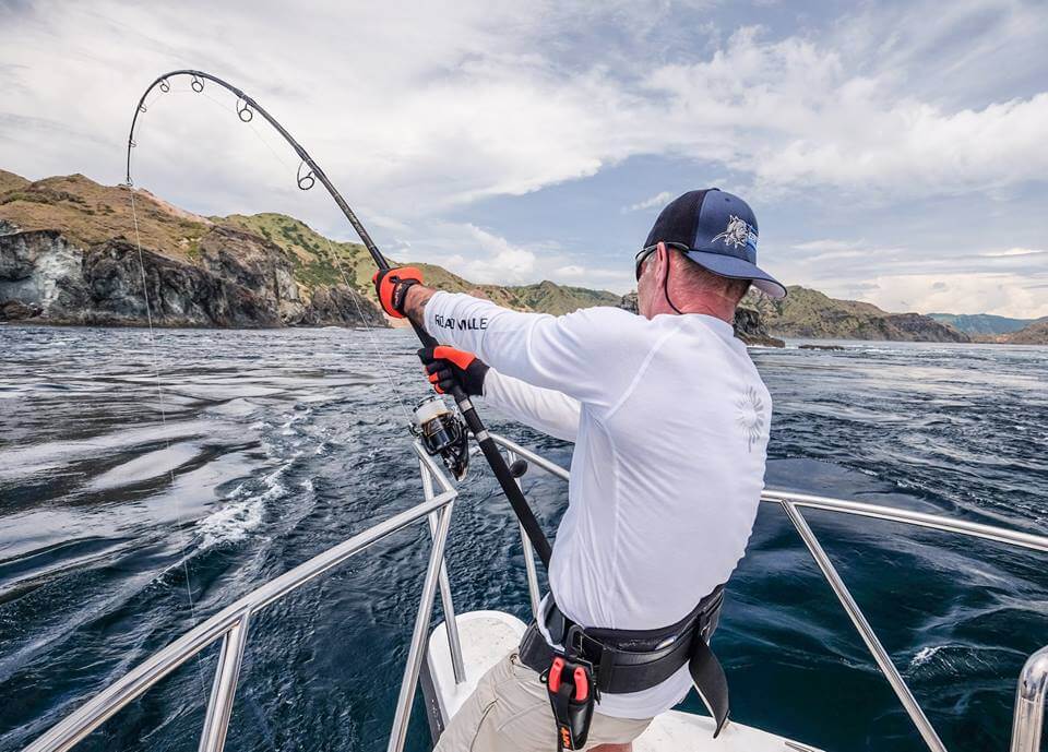
Check the site out and view your nearest live wave buoy before you head out fishing offshore at https://vicwaves.com.au/
Let us know if you find this useful and how you thought the site was!
AND of course, don’t forget to grab all your lures for a trip offshore right here: https://www.ebbtidetackle.com/product-category/fishing-lures/